Profile
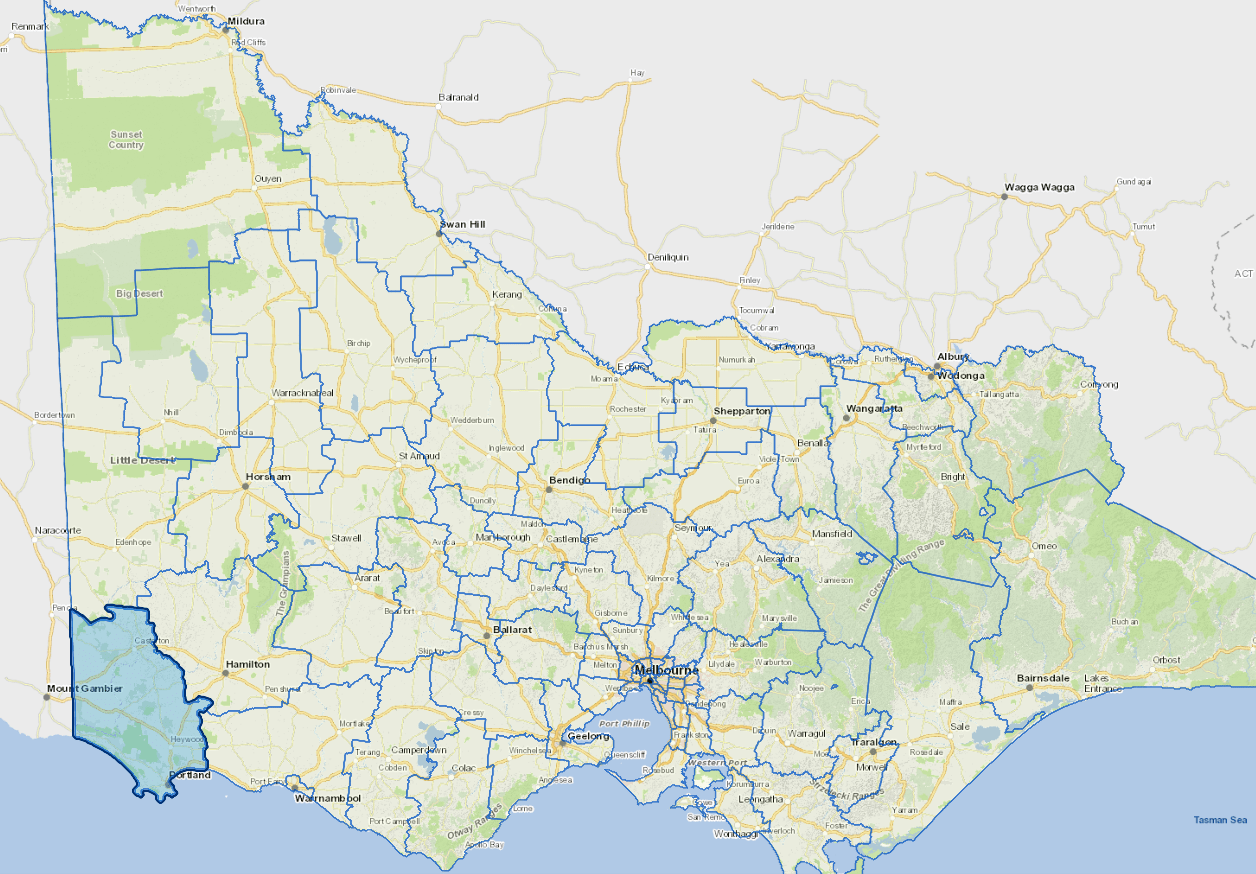
The Glenelg Shire is nestled in Victoria's south west corner.
Located around a deep-water port, Portland is the major centre in the shire and home to one of only two aluminium smelters in Victoria.
Natural attractions include the Glenelg River flowing and the surrounding national parks.
The shire's economy is based around service industries, timber production, grazing and manufacturing.
The main industries include basic non-ferrous metal manufacturing, agriculture, marine fishing.
Council information
Vicmap Basemap Services @ 2023 State Government Victoria | Copyright and Disclaimer
For a detailed map showing shire boundaries and locality names, visit VICNAMES.
Localities
Allestree, Bahgallah, Bessiebelle, Bolwarra, Branxholme, Breakaway Creek, Brimboal, Byaduk, Cape Bridgewater, Carapook, Cashmore, Casterton, Chetwynd, Clover Flat, Condah, Corndale, Dartmoor, Dergholm, Digby, Drik Drik, Drumborg, Dunrobin, Dutton Way, Gorae, Gorae West, Grassdale, Greenwald, Heathmere, Henty, Heywood, Homerton, Hotspur, Killara, Lake Condah, Lake Mundi, Lindsay, Lyons, Merino, Milltown, Mount Eckersley, Mount Richmond, Mumbannar, Muntham, Myamyn, Nangeela, Nareen, Narrawong, Nelson, Paschendale, Portland, Portland North, Portland West, Sandford, Strathdownie, Tahara, Tahara Bridge, Tahara West, Tyrendarra, Wallacedale, Wando Bridge, Wando Vale, Warrock and Winnap.
Updated