Profile
Hindmarsh Shire is in the Wimmera-Mallee region, about 350 kms northwest of Melbourne.
It is bordered in the north by the Big Desert / Wyperfeld National Park, and in the south by the Little Desert National Park. The economy of Hindmarsh is based largely on dryland, broadacre farming, especially grain (wheat, barley and oats) and sheep, but in recent years has diversified into the production of oilseeds and legumes.
Agricultural manufacture and tourism are also important.
Council information
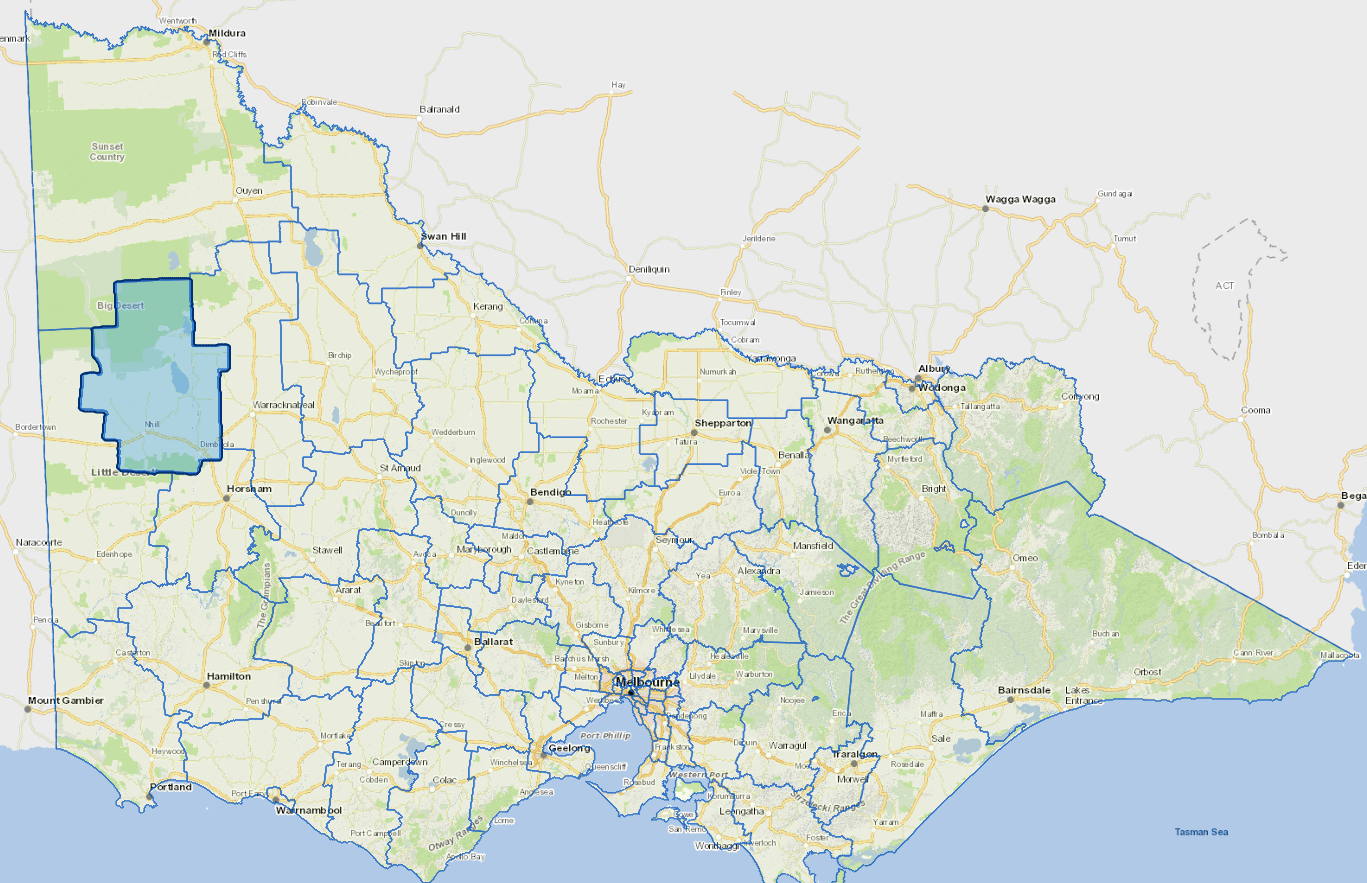
Vicmap Basemap Services @ 2023 State Government Victoria | Copyright and Disclaimer
For a detailed map showing shire boundaries and locality names, visit VICNAMES.
Localities
Albacutya, Antwerp, Big Desert, Broughton, Crymelon, Dimboola, Gerang Gerung, Glenlee, Jeparit, Kaniva, Kenmare, Kiata, Lake Hindmarsh, Little Desert, Lorquon, Netherby, Nhill, Rainbow, Tarranyurk and Yanac.
Updated