Profile
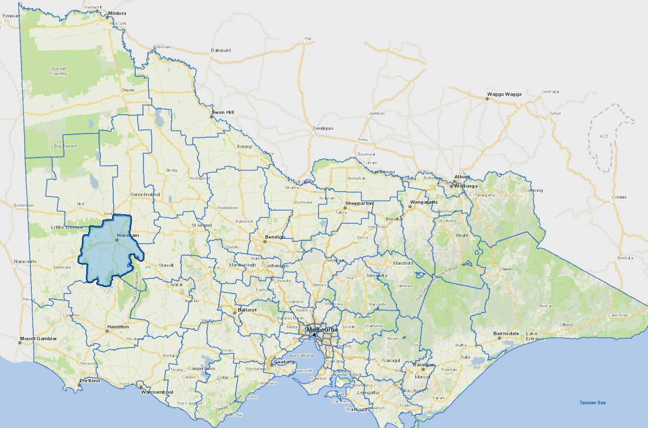
Horsham Rural City is some 3.5 hours' drive north west of Melbourne and north of the Grampians Ranges, in Victoria's Wimmera region.
The city of Horsham, with over 13,000 people, is the main provider of retail, community and government services in the Wimmera. The region has a range of educational and health facilities including several secondary colleges and a TAFE.
The main industry is dryland, broadacre agriculture.
Council information
Vicmap Basemap Services @ 2023 State Government Victoria | Copyright and Disclaimer
For a detailed map showing shire boundaries and locality names, visit VICNAMES.
Localities
Arapiles, Blackheath, Brimpaen, Bungalally, Clear Lake, Dadswells Bridge, Dooen, Douglas, Drung, Duchembegarra, Grass Flat, Green Lake, Greenland Dam, Haven, Horsham, Jilpanger, Jung, Kalkee, Kanagulk, Kewell, Laharum, Longerenong, Lower Norton, McKenzie Creek, Mitre, Mockinya, Mount Talbot, Murra Warra, Natimuk, Noradjuha, Nurrabiel, Pimpinio, Quantong, Riverside, St Helens Plains, Telangatuk East, Tooan, Toolondo, Vectis, Wail, Wartook and Wonwondah.
Updated