Profile
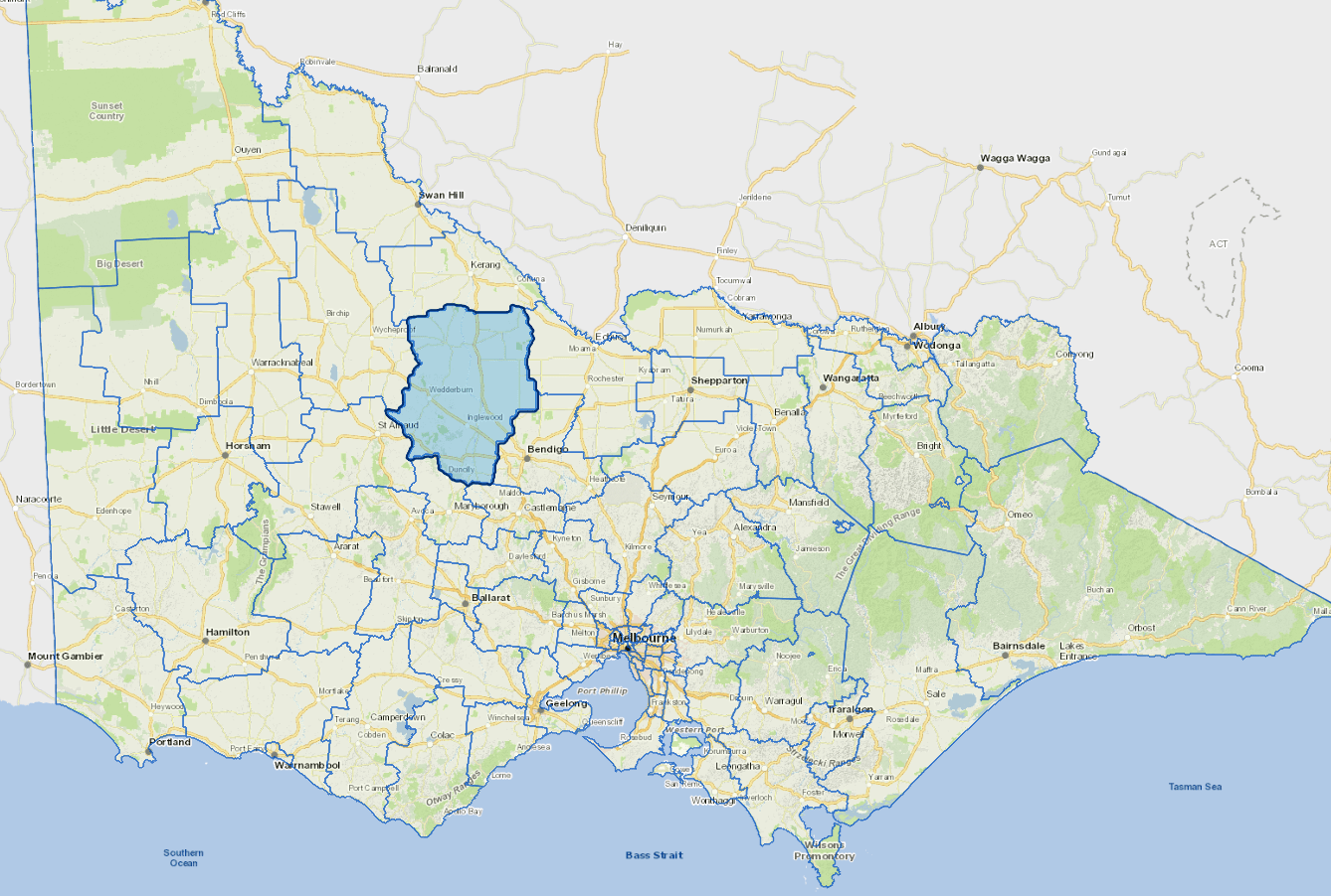
Loddon Shire is located 175 kms north west of Melbourne and within the central Victorian goldfields which is part of the area known as Victoria’s ‘Golden Triangle’. It has an area of almost 6,700 square kilometres.
The geography of the Shire is diverse with rolling hills and box-ironbark forests, granite outcrops, pockets of premium agricultural land as well as the river in the south which brings tourist and lifestyle benefits. In contrast, the northern part of the Shire features broad flat plains of dry land, wetlands, rivers, lakes, woodlands and irrigated farming areas as well as granite outcrops and well-preserved heritage and cultural features.
Agriculture is the main activity, with traditional produce including fat lambs, fine wool, dairy, poultry, pigs and cereal cropping. Recently more intensive forms of agriculture and horticulture have developed - including wine grapes, tomato growing, olives, oil seeds, pulses, and fodder crops, particularly in the irrigated areas in the north of the Shire and along the Loddon River. The municipality is characterised by a number of small towns dispersed throughout the area. Wineries and historic and natural attractions complement agricultural activity.
Council information
Vicmap Basemap Services @ 2023 State Government Victoria | Copyright and Disclaimer
For a detailed map showing shire boundaries and locality names, visit VICNAMES.
Localities
Appin South, Arnold, Arnold West, Auchmore, Barraport, Barraport West, Bealiba, Bears Lagoon, Berrimal, Boort, Borung, Brenanah, Bridgewater, Bridgewater North, Bridgewater on London, Buckrabanyule, Burkes Flat, Calivil, Campbells Forest, Canary Island, Catumnal, Cochranes Creek, Coonooer Bridge, Derby, Dingee, Dunolly, Durham Ox, Eastville, Eddington, Emu, Fentons Creek, Fernihurst, Fiery Flat, Gladfield, Glenalbyn, Glenloth East, Goldsborough, Gowar East, Gredgwin, Horfield, Inglewood, Inkerman, Jarklin, Jungaburra, Kamarooka, Kamarooka North, Kingower, Kinypanial, Korong Vale, Kurraca, Kurraca West, Kurting, Laanecoorie, Lake Marmal, Lake Meran, Leaghur, Leichardt, Leitchville, Llanelly, Loddon Vale, Logan, Macorna, Marong, McIntyre, Meering West, Milloo, Mincha, Minmindie, Mitiamo, Moliagul, Mologa, Murphys Creek, Mysia, Newbridge, Nine Mile, Painswick, Pompapiel, Powlett Plains, Prairie, Pyramid Hill, Raywood, Rheola, Richmond Plains, Salisbury West, Sebastian, Serpentine, Shelbourne, Skinners Flat, Slaty Creek, Sylvaterre, Tandarra, Tarnagulla, Terrappee, Terrick Terrick, Terrick Terrick East, Waanyarra, Wedderburn, Wedderburn Junction, Wehla, Woodstock On Loddon, Woodstock West, Woolshed Flat, Woosang, Wychitella, Wychitella North, Yando, Yarraberb, Yarrawalla and Yeungroon East.
Updated