Profile
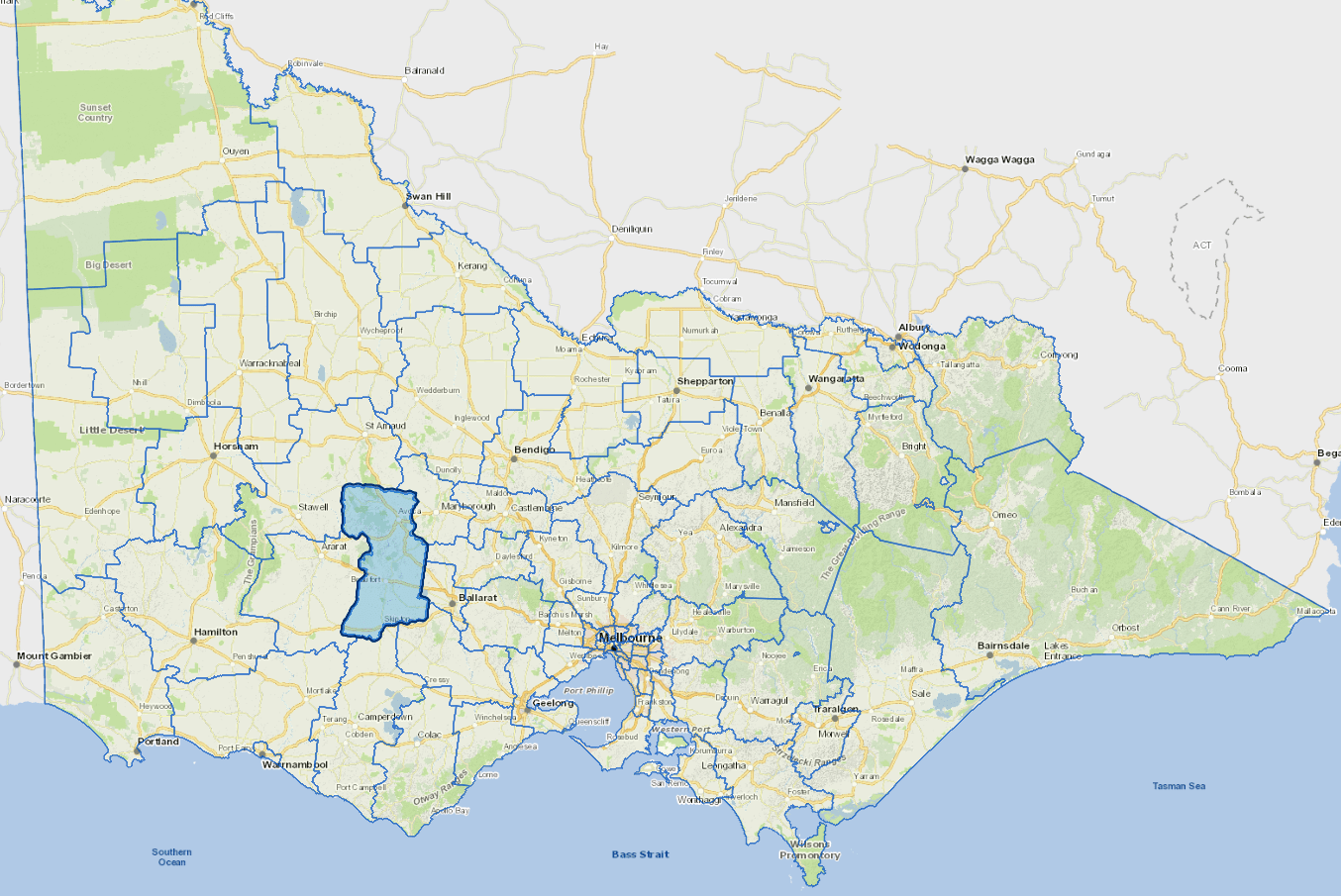
Pyrenees Shire is located in the Central West of Victoria, about 130 km north west of Melbourne.
It is heavily dependent on primary industry and is renowned for its, wool, viticulture and forestry activity. Thirty percent of the workforce is involved in agriculture. Key areas of production are wool, cereal, hay crops and meat. Grape and wine production has recently expanded significantly.
Gold, along with sand, gravel and slate all contribute to the economy.
Council information
Vicmap Basemap Services @ 2023 State Government Victoria | Copyright and Disclaimer
For a detailed map showing shire boundaries and locality names, visit VICNAMES.
Localities
Amphitheatre, Avoca, Ballyrogan, Barkly, Beaufort, Bo Peep, Brewster, Buangor, Bung Bong, Burnbank, Burrumbeet, Carngham, Carranballac, Chepstowe, Chute, Cross Roads, Crowlands, Elmhurst, Ercildoune, Eurambeen, Evansford, Eversley, Frenchmans, Glenbrae, Glenlofty, Glenpatrick, Glenshee, Hillcrest, Lake Goldsmith, Lamplough, Landsborough, Langi Kal Kal, Lexton, Lillicur, Lower Homebush, Main Lead, Mena Park, Middle Creek, Moonambel, Mortchup, Mount Emu, Mount Lonarch, Natte Yallock, Navarre, Nerring, Nowhere Creek, Percydale, Pittong, Raglan, Rathscar, Redbank, Rosyth, Shays Flat, Shirley, Snake Valley, Stockyard Hill, Stoneleigh, Streatham, Tanwood, Trawalla, Wareek, Warrenmang, Waterloo, Wattle Creek, Waubra, and Yalla-Y-Poora.
Updated