Profile
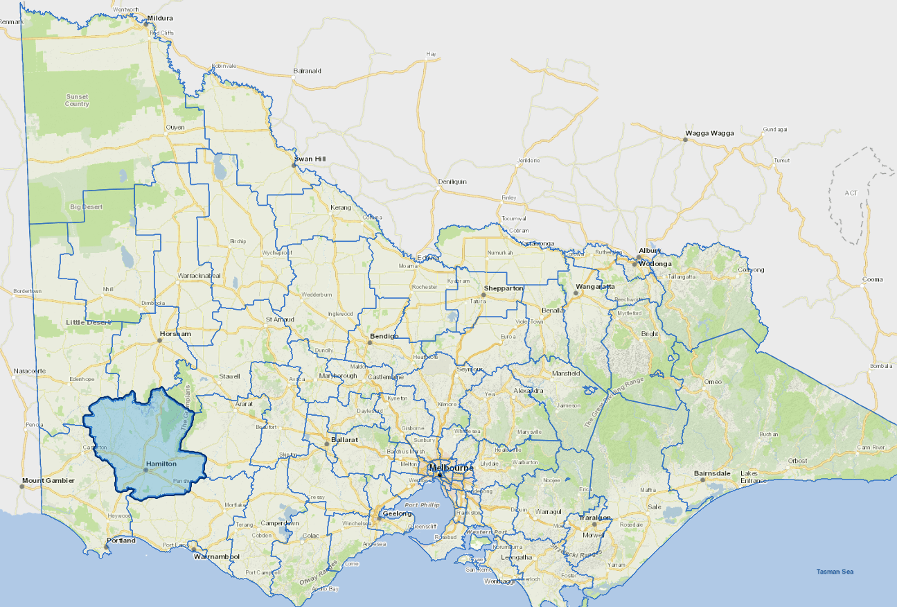
With a population of almost 16,000, Southern Grampians covers an area of 6,655 square kilometres. Hamilton is the regional hub hosting major retail and services supported by nine smaller towns.
Agriculture, with its associated industries, is the largest employment sector with this intensive agricultural production contributing significantly to the Victorian and Australian economies. Processing, manufacturing, research and development, engineering, retail, tourism, aged and health care services and education are also important employment sectors across the Shire.
Council information
Vicmap Basemap Services @ 2023 State Government Victoria | Copyright and Disclaimer
For a detailed map showing shire boundaries and locality names, visit VICNAMES.
Localities
Balmoral, Bellfield, Bochara, Branxholme, Brit Brit, Buckley Swamp, Bulart, Byaduk, Byaduk North, Caramut, Carapook, Cavendish, Cherrypool, Clover Flat, Coleraine, Coojar, Croxton East, Culla, Dunkeld, Englefield, Gatum, Gazette, Glenisla, Glenthompson, Grampians, Gringegalgona, Gritjurk, Hamilton, Harrow, Hensley Park, Hilgay, Karabeal, Konongwootong, Melville Forest, Mirranatwa, Mooralla, Morgiana, Mount Napier, Moutajup, Muntham, Nareeb, Nareen, Penshurst, Pigeon Ponds, Purdeet, Rocklands, Strathkellar, Tabor, Tahara, Tarrayoukyan, Tarrenlea, Tarrington, Vasey, Victoria Point, Victoria Valley, Wando Vale, Wannon, Warrayure, Woodhouse, Woohlpooer, Wootong Vale, Yatchaw and Yulecart.
Updated