Profile
Located at the geographic heart of Victoria, Central Goldfields Shire is home to just over 13,000 people. Maryborough is the Shire’s major business centre and is a health and retail centre for surrounding towns including Castlemaine, St Arnaud, Avoca, Talbot, Carisbrook, and Dunolly.
The Shire is part of the Goldfields Tourism Region, with many visitors coming to see the historic buildings and townships that date back to the 1850s when the region supported a prosperous gold mining industry, as well as visitors to the annual Energy Breakthrough event and the Highland Gathering. Central Goldfields Shire is bounded by Northern Grampians Shire in the north-west, Pyrenees Shire in the west, Hepburn Shire in the south, Mount Alexander Shire in the east and Loddon Shire in the north-east.
Agricultural industries are spread across the municipality and include grain, sheep grazing and broiler farming. The Shire is also home to a number of major manufacturing, infrastructure, agricultural, freight, printing and food production companies. The Shire’s road network assets include 512 km of sealed roads, 768 km of gravel roads and 110 bridges. Residents have access to affordable housing and a wide variety of health services, schools and recreational facilities.
Council information
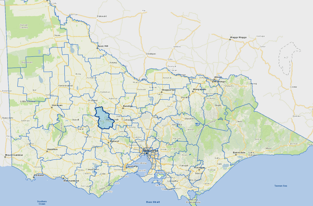
Vicmap Basemap Services @ 2023 State Government Victoria | Copyright and Disclaimer
For a detailed map showing shire boundaries and locality names, visit VICNAMES.
Localities
Adelaide Lead, Alma, Amherst, Archdale, Archdale Junction, Bealiba, Bet Bet, Betley, Bowenvale, Bromley, Bung Bong, Campbelltown, Caralulup, Carisbrook, Cotswold, Craigie, Daisy Hill, Dunach, Dunluce, Dunolly, Eddington, Emu, Flagstaff, Glengower, Golden Point, Goldsborough, Havelock, Inkerman, Joyces Creek, Lillicur, Majorca, Maryborough, Moliagul, Moolort, Moonlight Flat, Mount Cameron, Mount Glasgow, Mount Hooghly, Natte Yallock, Rathscar, Red Lion, Rodborough, Simson, Stony Creek, Strathlea, Talbot, Timor, Timor West and Wareek.
Updated