Profile
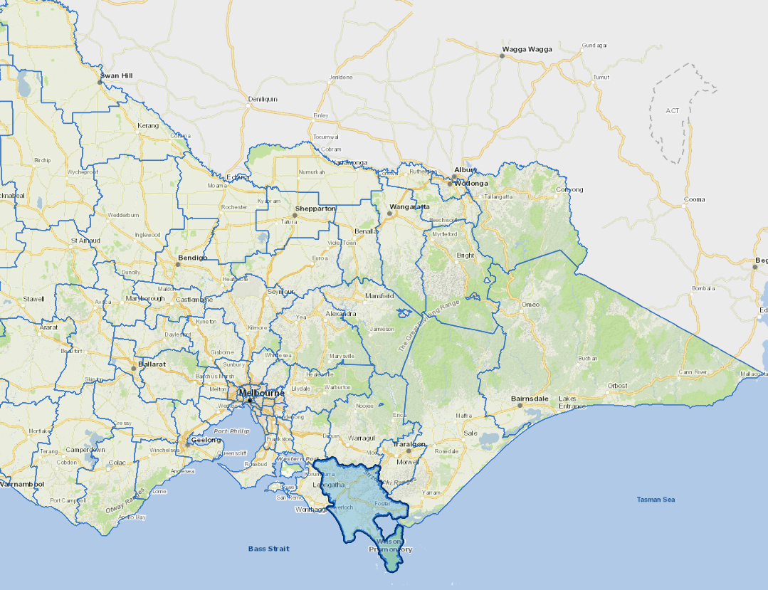
South Gippsland is an important beef production and dairying area.
Other activities include horticulture, forestry, fishing, boutique food and wine, retail trade, manufacturing and tourism. The western coast of the shire is also a popular holiday and retirement area. A major physical feature in South Gippsland is Wilsons Promontory.
The main industries include agriculture, dairy product manufacturing.
Council information
Vicmap Basemap Services @ 2023 State Government Victoria | Copyright and Disclaimer
For a detailed map showing shire boundaries and locality names, visit VICNAMES.
Localities
Agnes, Allambee Reserve, Allambee South, Arawata, Baromi, Bena, Bennison, Berrys Creek, Binginwarri, Boolarong, Boolarra, Boolarra South, Boorool, Buffalo, Darlimurla, Delburn, Dollar, Dumbalk, Dumbalk North, Fairbank, Fish Creek, Foster, Foster North, Gunyah, Hallston, Hazel Park, Hedley, Hoddle, Inverloch, Jeetho, Jumbunna, Kardella, Kardella South, Kongwak, Koonwarra, Koorooman, Korumburra, Korumburra South, Krowera, Lang Lang, Leongatha, Leongatha North, Leongatha South, Limonite, Loch, Mardan, Meeniyan, Middle Tarwin, Mirboo, Mirboo East, Mirboo North, Mount Best, Mount Eccles, Mount Eccles South, Mountain View, Moyarra, Nerrena, Nyora, Outtrim, Poowong, Poowong East, Poowong North, Port Franklin, Port Welshpool, Pound Creek, Ranceby, Ruby, Sandy Point, Stony Creek, Strzelecki, Tarwin, Tarwin Lower, Thorpdale, Thorpdale South, Tidal River, Toora, Toora North, Trida, Turtons Creek, Venus Bay, Walkerville, Walkerville South, Waratah Bay, Welshpool, Whitelaw, Wild Dog Valley, Wilsons Promontory, Wonga, Wonyip, Woorarra West and Yanakie.
Updated