Profile
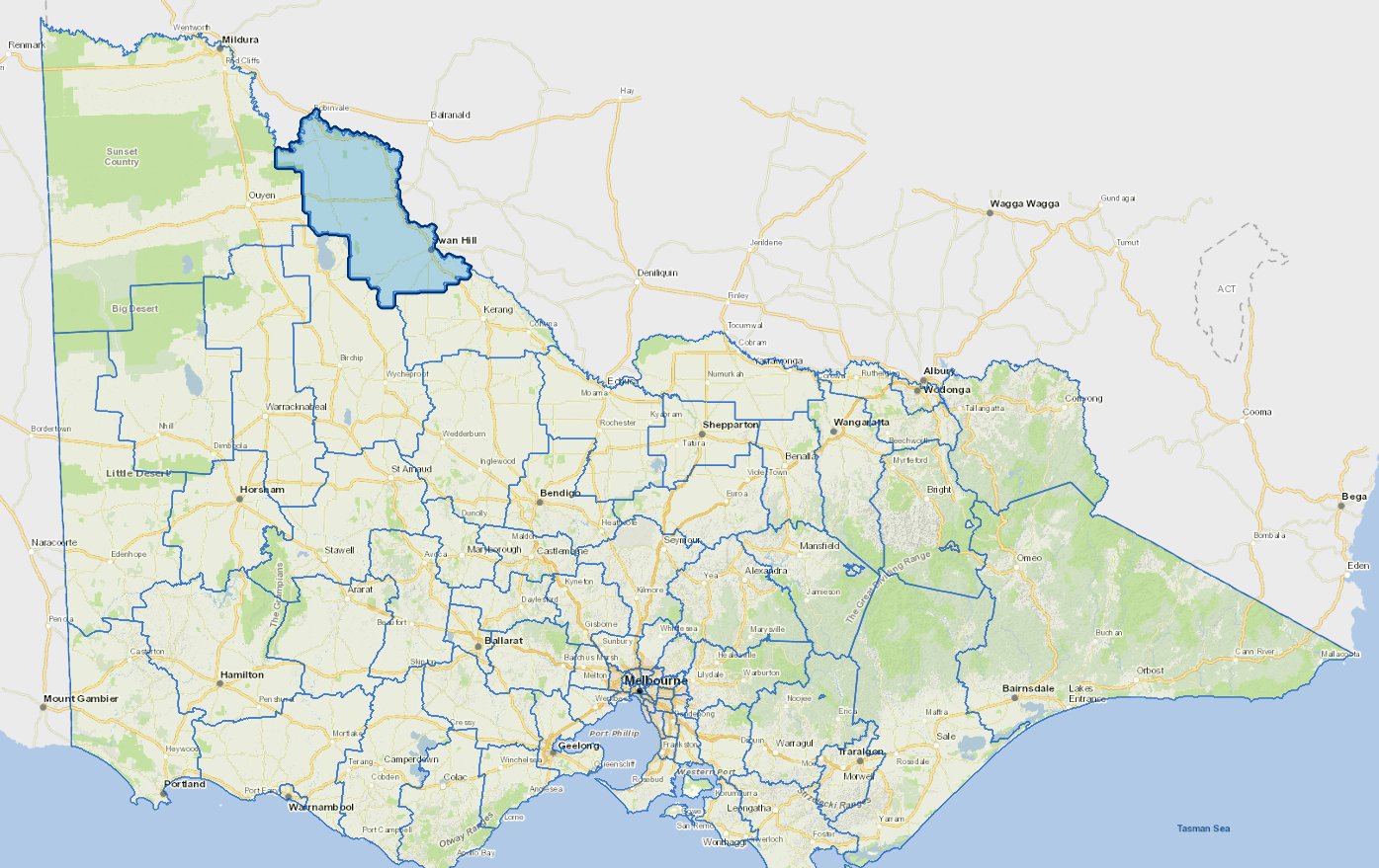
Swan Hill is an agricultural area about 4 hours drive North-West of Melbourne.
The area includes both dryland farming areas in the west and irrigated areas in the east. The Swan Hill township services a wide catchment, including areas into New South Wales. It is also a popular tourist destination.
The main industry is agriculture.
Council information
Vicmap Basemap Services @ 2023 State Government Victoria | Copyright and Disclaimer
For a detailed map showing shire boundaries and locality names, visit VICNAMES.
Localities
Annuello, Bannerton, Beauchamp, Beverford, Bolton, Boundary Bend, Bulga, Castle Donnington, Chillingollah, Chinangin, Chinkapook, Cocamba, Fish Point, Gerahmin, Goschen, Gowanford, Happy Valley, Kenley, Kooloonong, Kunat, Lake Boga, Lake Powell, Liparoo, Manangatang, Meatian, Miralie, Murnungin, Murrawee, Murraydale, Narrung, Natya, Nowie, Nyah, Nyah West, Nyrraby, Pental Island, Piangil, Pira, Polisbet, Robinvale, Speewa, Swan Hill, Swan Hill West, Tol Tol, Towan, Tresco, Tresco West, Tudor, Turoar, Tyntynder, Tyntynder South, Tyrrell, Ultima, Ultima East, Vinifera, Waitchie, Wandown, Wemen, Winlaton, Winnambool, Wood Wood, Woorinen, Woorinen North and Woorinen South.
Updated