Profile
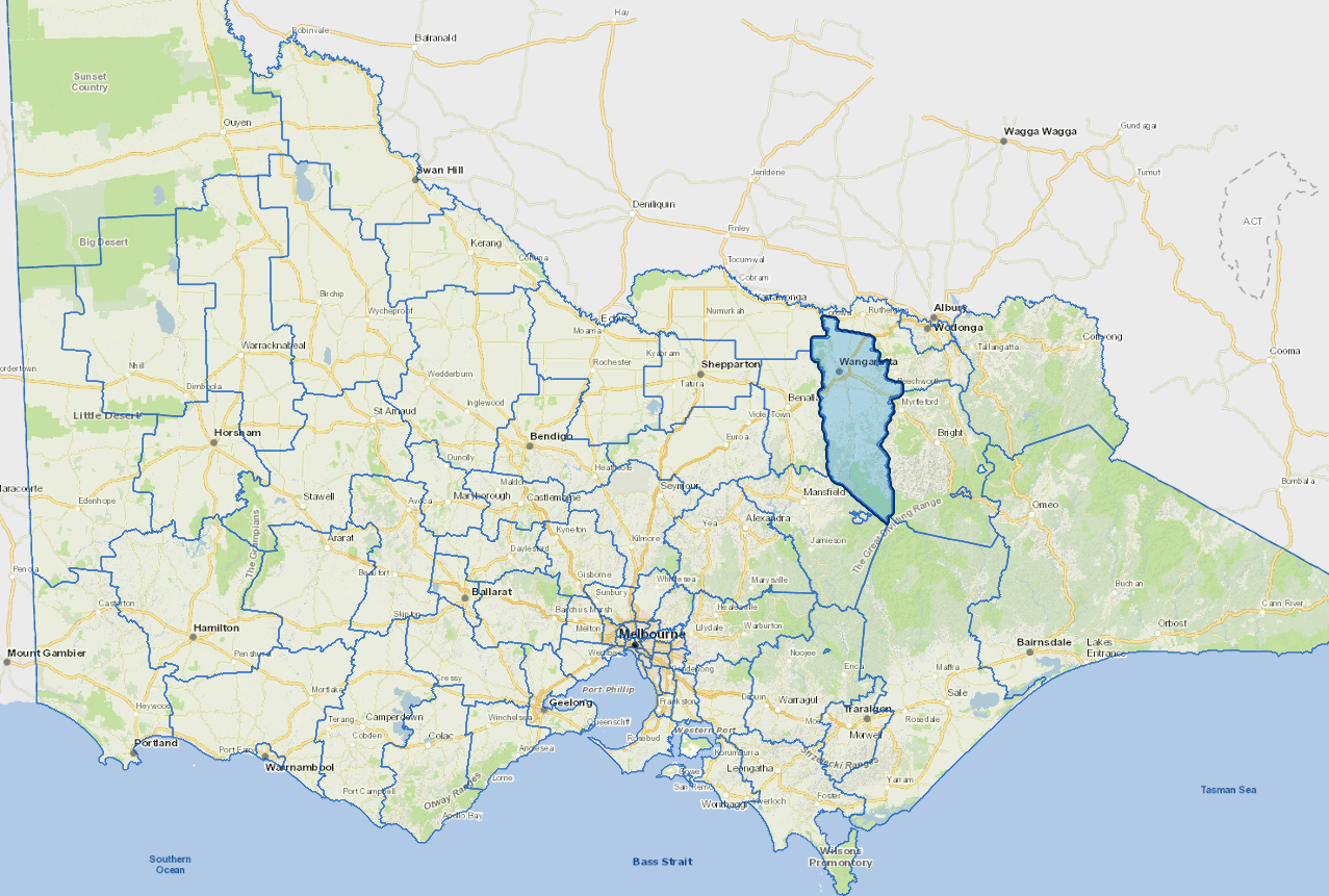
Wangaratta is a manufacturing and commercial centre in north-east Victoria.
The rural city's traditional strengths of clothing and textile production has been supplemented in recent years by the manufacturing of wine and wood products.
Wangaratta is the municipality's largest urban centre, with approximately 18,000 residents. The region prides itself on its wineries, gourmet food, spectacular scenery, historic legends, cultural heritage and access to numerous State and National Parks.
The outdoors are also a focus for popular leisure activities in the region.
Council information
Vicmap Basemap Services @ 2023 State Government Victoria | Copyright and Disclaimer
For a detailed map showing shire boundaries and locality names, visit VICNAMES.
Localities
Archerton, Bobinawarrah, Boorhaman, Boorhaman East, Boorhaman North, Boralma, Boweya, Bowmans Forest, Bowser, Byawatha, Carboor, Cheshunt, Cheshunt South, Docker, Dockers Plains, Edi, Edi Upper, Eldorado, Everton, Everton Upper, Glenrowan, Greta, Greta South, Greta West, Hansonville, Killawarra, King Valley, Laceby, Londrigan, Lurg Upper, Markwood, Meadow Creek, Milawa, Moyhu, Murmungee, Myrrhee, Oxley, Oxley Flats, Peechelba, Peechelba East, Rose River, Springhurst, Tarrawingee, Tatong, Tolmie, Wabonga, Waldara, Wangandary, Wangaratta, Wangaratta East, Wangaratta North, Wangaratta South, Whitfield, Whitlands, Whorouly, Whorouly East, Whorouly South and Yarrunga.
Updated