Profile
Ararat Rural City is a versatile primary production area famous for its premium viticulture and wine industry, quality merino wool, and cropping and manufacturing industries.
Ararat Rural City forms a 'gateway' to important tourism destinations such as the Grampians Ranges, Pyrenees Ranges, Mt Langi Ghiran, Mt Cole and Lake Bolac. Ararat (pop. 7,500) is the district retail hub.
Ararat is located 200 kilometres west of Melbourne on the Western Highway at the junction of several major highways.
Council information
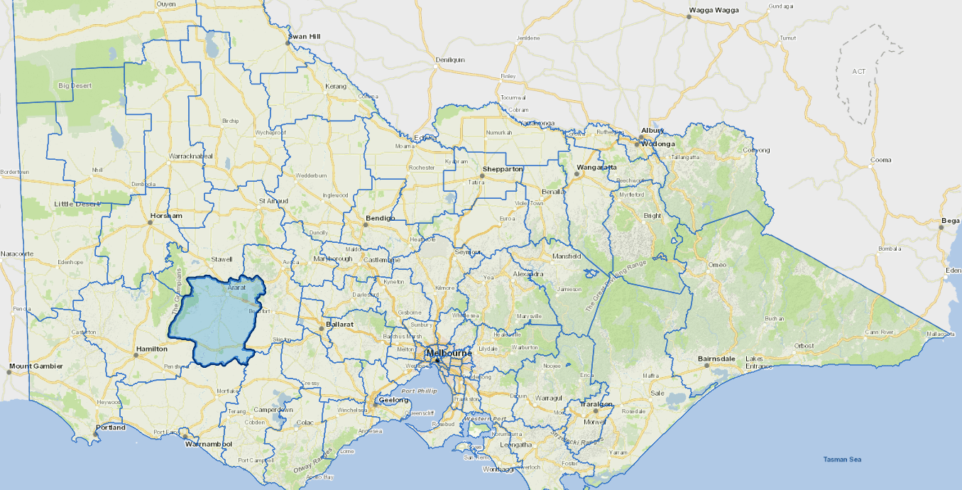
Vicmap Basemap Services @ 2023 State Government Victoria | Copyright and Disclaimer
For a detailed map showing shire boundaries and locality names, visit VICNAMES.
Localities
Ararat, Armstrong, Ballyrogan, Bayindeen, Black Range, Bornes Hill, Buangor, Carranballac, Cathcart, Chatsworth, Crowlands, Denicull Creek, Dobie, Dunkeld, Dunneworthy, Elmhurst, Eversley, Glenlogie, Glenthompson, Great Western, Halls Gap, Lake Bolac, Langi Logan, Mafeking, Maroona, Middle Creek, Mininera, Mount Cole, Mount Cole Creek, Moyston, Narrapumelap South, Nerrin Nerrin, Norval, Pomonal, Pura Pura, Rhymney, Rocky Point, Rossbridge, Stavely, Stoneleigh, Streatham, Tatyoon, Warrak, Westmere, Wickliffe, Willaura, Woorndoo and Yalla-Y-Poora.
Updated