The Government has released the Montague Precinct Implementation Plan to provide a deliverable ten-year roadmap for the transformation of the Montague precinct.
Montague is one of five precincts in Fishermans Bend, a state significant urban renewal area. Montague is currently a focus of development activity in Fishermans Bend and expected to experience significant growth over the next 10 years.
The Montague Precinct Implementation Plan (MPIP) builds on the Fishermans Bend Vision (2016) and Fishermans Bend Framework (2018) and the recently approved Fishermans Bend Renewal Area Development Contributions Plan (2026).
Developed in consultation with the City of Port Phillip, the final MPIP incorporates updates in response to feedback received during consultation on the draft MPIP from December 2023 to March 2024.
Read document here.
The final Montague Precinct Implementation Plan and planning scheme amendment C236port
The final MPIP and supporting planning scheme amendment provides clear planning guidance to support the creation of a green and resilient precinct with a distinct character and built form, a vibrant activity spine along Buckhurst Street, and a diverse network of streets and laneways where it is safe to walk and cycle.
The MPIP adds to the Framework’s general guidance on urban structure and built form by providing precinct-specific guidance to realise the vision for Montague, including updated design controls and local policy to provide more guidance on character integration, laneway activation and the approach to vehicle access and car parking.
The MPIP details how the area will change over the next decade to 2036, focusing on key infrastructure projects like street and laneway upgrades, new public spaces, and community facilities.
The Minister for Planning has approved planning scheme amendment C236port to bring the Port Phillip Planning Scheme into alignment with the final Montague Precinct Implementation Plan.
Amendment C236port introduces updated built form and demolition controls in the Capital City Zone – Schedule 4 (CCZ4) and the Design and Development Overlay –Schedule 30 (DDO30) and provides new place-based policy directions for the Montague Precinct in Clause 11.03-6L-05.
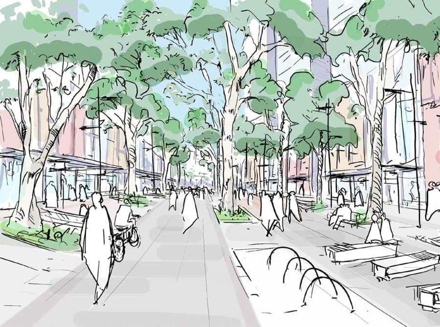
Buckhurst Street is safe, pleasant and tree lined, with strong cycling and walking connections to Bay Street, Port Melbourne and the City. It is a cosmopolitan destination for retail and dining, providing a focus for community interaction.
Updated