2021–22 CFA fuel management
This year’s bushfire risk management report has been expanded to include available data from the Country Fire Authority (CFA) fuel management activities on private land and other public land like roadsides and rail corridors.
The Country Fire Authority Act 1958 authorises CFA to conduct fuel management activities on private land and in the ‘country area of Victoria’.
The CFA conducts fuel management activities at the request of the landowner or manager.
CFA does not manage land and must work closely with landowners and managers such as road and rail authorities to conduct planned burning or mechanical fuel treatments.
Table 18 outlines the treated area and the number and location of all fuel treatment activities led by the CFA during 2021–22.
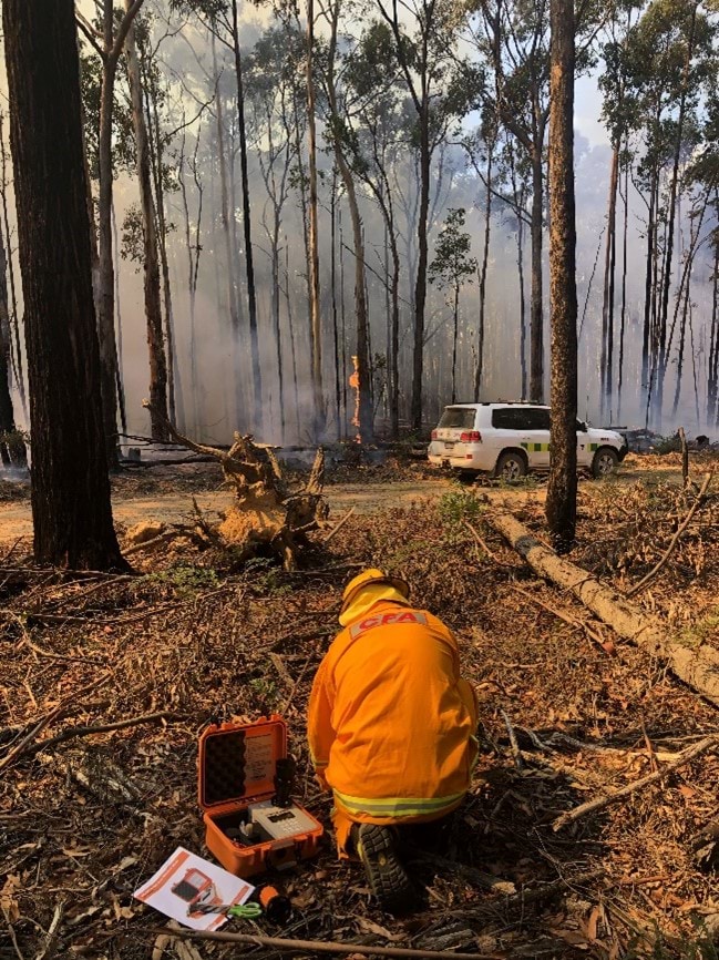
In total, 3,619 hectares were treated across the state, through 219 activities. The largest areas treated were in the South West CFA region (1,914 hectares) and West CFA region (1,439 hectares).
Many of the areas treated on behalf of land managers were long linear strips, such as road and rail corridors, with a small hectare footprint, but totalling 494 kilometres of vegetation treated to reduce fuel-driven bushfire risk.
Table 18: CFA fuel treatment activities, by region, 2021–22
| CFA region | Number of fuel treatment activities | Area treated (hectares) |
|---|---|---|
| North East | 47 | 180 |
| North West | 14 | 62 |
| South East | 8 | 24 |
| South West | 77 | 1,914 |
| West | 73 | 1,439 |
| Total | 219 | 3,619 |
CFA fuel treatments are broken into treatment types in Table 19.
Most of the fuel management completed was through planned burning (89%), with non-burn fuel treatment accounting for only 11% of CFA’s program.
Non-burn fuel treatments included various mechanical treatments, such as slashing and mulching.
The CFA are working with Traditional Owner groups and First Nations communities to enable more cultural fire, linking in with the Victorian Traditional Owner Cultural Fire Strategy and CFA Koori Inclusion Action Plan. In 2021–22, the CFA supported the delivery of 1 cultural burn by Traditional Owners covering 8 hectares.
Table 19: CFA fuel treatment activities, by treatment type, 2021–22
| CFA region | Number of fuel treatment activities | Area treated (hectares) |
|---|---|---|
| Planned burning | 171 | 3,220 |
| Non-burn fuel treatments | 47 | 391 |
| Traditional Owner burning | 1 | 8 |
| Total | 219 | 3,619 |
In 2021–22, all planned burns led by CFA were incorporated into the fuel-driven bushfire risk calculations for Forest Fire Management Victoria (FFMVic).
These burns minimise risk through critical access and egress for communities, and by reducing fuels next to residential areas and critical infrastructure.
These treatments help deliver on joint bushfire management strategy approaches, including more effective fire suppression, reduced bushfire spread and severity, and reduced impacts of bushfires on people and property.
The CFA fuel management program is often driven by local communities and as a result, has positive flow effects for communities in understanding their own bushfire risk and the role fire can play in reducing risks and maintaining ecosystems.
However, due to the smaller size and linear characteristics of these planned burns, they are less represented in the calculations FFMVic uses to monitor fuel-driven bushfire risk.
The Office of Bushfire Risk Management will continue to work with CFA to explore how to best capture the contribution of CFA’s activities to reducing bushfire risk.
Bushfire Risk Engagement Areas
To help prioritise risk reduction efforts on private land, CFA uses Bushfire Risk Engagement Areas, which are strategic areas covering both public and private land.
These areas form part of the regional bushfire management strategies and identify where communities and agencies can most effectively work together on bushfire fuel management actions – such as planned burning or mechanical treatments – to reduce fuel-driven bushfire risk to human life and property most effectively.
By working together, communities, local government and fire management agencies use Bushfire Risk Engagement Areas, amongst other tools such as the Victorian Fire Risk Register – Bushfire, to help prioritise actions to reduce risk.
Because each area is unique, various management approaches are considered, including vegetation management, land use planning, community engagement and education. The treatment choice will depend on the vegetation type, land use, feasibility of treatment options and landowners’ preferences.
Treatments can be delivered to meet different objectives, from protecting life and property through to maintaining or enhancing ecological resilience.
Case study
Wheatsheaf FireScape project – Bushfire Risk Engagement Area
The Wheatsheaf FireScape is an ongoing Safer Together project in a small fire-prone community between Daylesford and Trentham. The project is focused on the Wheatsheaf area, as strategic bushfire planning identified the potential to substantially reduce bushfire risk on private land.
Through this project, 16 landholders, the CFA and FFMVic are all aligning their fuel management activities to reduce bushfire risk for the Wheatsheaf community.
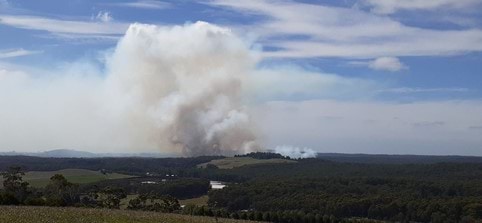
In 2021–22, CFA and FFMVic undertook a planned burn at Osborne Road, Daylesford. Close to 200 hectares were treated to reduce fuels and to provide protection to human life, property and community assets in the area.
The planned burn was strengthened by mulching across 22 properties in the project area and a series of weekend wood-chipping events. About 350 cubic metres of coarse woody debris was processed around homes. This is the first part of a long-term partnership and series of activities, with tree-candling works (treatment of bark fuel hazard on specific tree species to decrease the likelihood of embers and short-distance fire spotting) planned in future years to reduce spotting hazards from bark fuels.
Cultural burning
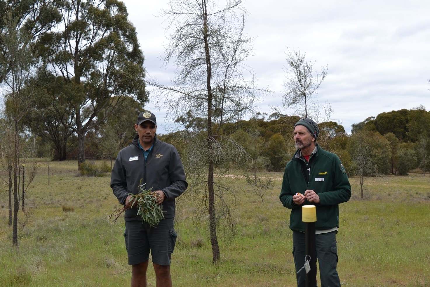
The CFA is committed to work with Traditional Owners across Victoria to support and strengthen cultural burning practices. Cultural burning is performed by Traditional Owners as part of their cultural responsibilities and obligations to care for Country.
The CFA’s Koori Inclusion Action Plan aims to grow and strengthen relationships with Koori people across Victoria by promoting inclusion of Traditional Owners and their perspectives in everything the CFA does.
CFA brigades have been assisting with the return of cultural fire in practical ways by supporting cultural burns conducted by Traditional Owners, or by piloting and evaluating burns based on cultural practice in association with local Traditional Owners.
Case study
Reintroducing cultural fire in Minimay
A 41-hectare planned burn was conducted in Minimay, western Victoria by the Barengi Gadjin Land Council as the Traditional Owners.
The CFA supported this burn as part of a larger program of works that aims to reintroduce traditional burning back into the Wimmera landscape. The program is a partnership between the Barengi Gadjin Land Council, Bank Australia, Greening Australia, Trust for Nature, CFA and FFMVic.
The burn helped to create a fine-scale mosaic of vegetation of varying age classes through the Bank Australia reserve to provide a diversity of habitat structures and to protect and promote the native flora and fauna.
Updated